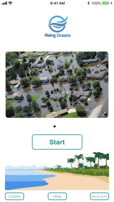


Rising Oceans app for iPhone and iPad
Developer: Keyvan Farhad
First release : 28 Sep 2018
App size: 13.4 Mb
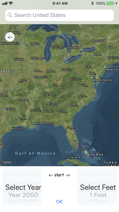
This app has most of the coastal elevation data in both the east and west coast. The extensive amount of data contains every coastal county in the United States. Each data point includes latitude, longitude, and elevation. Using the National Oceanic and Atmospheric Administration (NOAA) future sea level predictions with the above coastal data, the app can be configured to show flooding predictions.
You can:
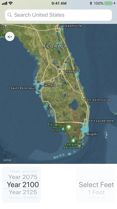
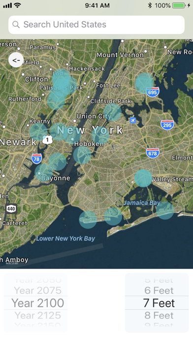
-Select a certain year between 2050 and 2200 to view the map of the coastal areas where flooding may occur.
-Select a certain elevation from 1 to 10 feet to view the map of the floods that may occur if the ocean level reaches that height.
-Enter a specific address in the coastal areas and see the effects of rising oceans in or around that location.
Ocean level rise predictions are used from the graph by NOAA in the Global Sea Level Rise Scenarios for the United States National Climate Assessment.